
The pass is named for
Edward L. Berthoud, the chief surveyor of the Colorado Central Railroad during the 1870s. Accompanied by Jim Bridger,
Berthoud discovered the pass in July 1861 while surveying a possible route for
the railroad. Berthoud reported that the pass was suitable as a wagon road, but
not as a railroad. The pass has steep grades on either side (6.3%), along with
winding switchbacks and many tight spots.
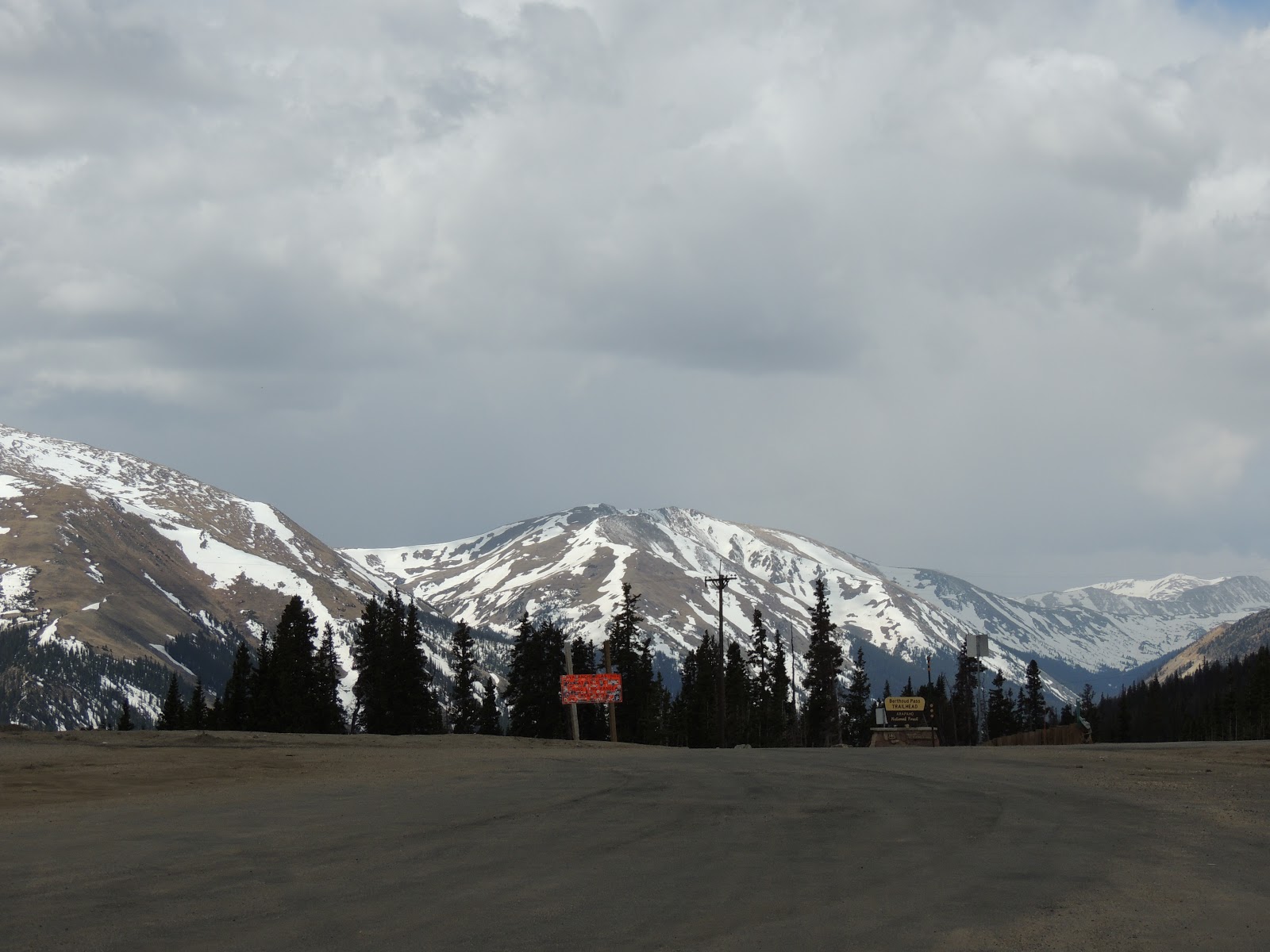
The pass is currently
the route of U.S. Highway 40, north of its junction with Interstate 70
in Clear Creek Canyon. It provides the fastest road access to Winter Park and a secondary route to Steamboat Springs from Denver and the Colorado Front Range. However, the pass is one of the most
notoriously difficult passes in Colorado for motorists, based on its height as
well as the large number of switchbacks on the southern side of the pass.
Wikipedia.com

No comments:
Post a Comment